Transparent Carbon Solutions Powered by Innovation
At Go Balance, we take a technology-driven approach to carbon project development, underpinned by rigorous baseline assessments, and ongoing monitoring, evaluation, and verification.
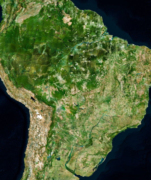
Our carbon quantification is driven by satellite imagery and leverages national and sub-national open-source datasets from trusted sources such as NASA, ESA, and PRODES to determine carbon stocks. This approach ensures consistency with government data and avoids the potential bias of private datasets.
Our use of robust geospatial technologies enables transparent, unbiased, and readily verifiable analysis. This enables accurate carbon emission reduction calculations and transparent reporting, and ensures that our data is replicable and aligned with the highest standards. With these tools we provide our clients with the confidence to make informed decisions based on reliable data.
By utilizing granular data on deforestation rates, carbon sequestration, and biodiversity metrics, we empower organisations to maximize the impact of their carbon offsetting strategies.
Data-Driven Transparency and Impact Measurement
We use geospatial data and satellite monitoring to track and report on the progress of our projects. This allows us to deliver transparent and accurate information to our clients about the environmental benefits of their carbon offsets.
Our technology platform enables us to:
- Utilize national and sub-national datasets
- Monitor changes in forest cover over time
- Conduct efficient baseline assessment
- Provider transparent verifiable analysis and results
- Efficiently quantify carbon credit potential of project areas