Go Balance Ltd signs agreement to test new high-resolution satellite data.
Go Balance Limited has recently signed an agreement with Resilience Constellation to test the capabilities of a high-resolution satellite mission. The upcoming VOLT satellite is a hyperspectral imager and advanced processing satellite. The mission is being funded by the European Space Agency (ESA) and the UK.
The VOLT satellite is the first of a series of missions being developed under the Resilience Constellation framework to support climate adaptation and resilience efforts around the world. The Resilience Constellation framework has a particular emphasis on agriculture, forests, freshwater and coastal areas.
Dr Richard Tipper MBE, FRSA, is Director of Resilience Constellation. He said:
“A key objective from this mission is to test new computing and communication technologies that will enable the VOLT satellite to capture, process and interpret images on-board the satellite and then deliver insights directly to people on the ground, in response to information requests.”
Satellite mission supports REDD+ monitoring and reporting
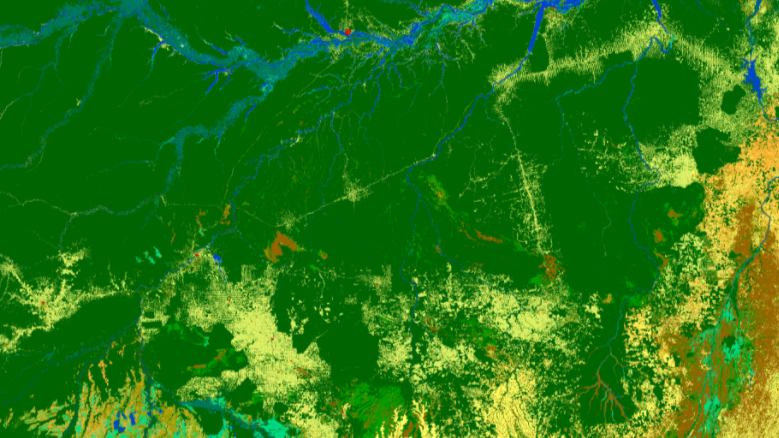
As the project developer for the Trocano Project, Go Balance already has experience of using geospatial data. Datasets from INPE (the Brazilian Space Research Institution) and NASA, are used for monitoring and reporting purposes. Indeed, these data sources also form an integral part of the REDD+ project verification process.
The Trocano Project is located in the municipality of Borba in Amazonas, Brazil. Field teams will be involved in collecting ground data to compare with images and data generated by the VOLT satellite. The hyperspectral imager will capture up to 32 optical bands at 4.75 metre pixel size along a 20km swath.
Geospatial information for climate change mitigation and adaptation
Joaquina Lourenco is the Trocano Project Manager, who said:
“The Amazon rainforest is being affected by both direct human disturbance and climate change. It is therefore important to have tools to pinpoint areas of disturbance before they expand. We also need information on the extent and severity of damage from forest fires and ability to monitor areas of forest restoration.”
The following story was originally published in Carbon Pulse on 16th May 2023:
Brainy satellite set to improve monitoring of REDD projects
A new wave of satellite sophistication is set to improve monitoring of REDD+ avoided deforestation projects with the upcoming launch of the VOLT mission, sponsored by the European Space Agency and the UK, claims a project developer.
UK-based Go Balance, which has developed a jurisdictional REDD project in Brazil called Trocano, plans to test the capabilities of the high-resolution hyperspectral imager of the VOLT satellite after signing an agreement with the data provider Resilience Constellation.
The satellite will be able to respond to requests for information, with minimal requirements for ground-based data processing.
“The VOLT system uses a satellite brain which is tasked with information requests rather than coverage requests,” said James Robinson, head of capital markets at Go Balance.
“Instruments and on-board processing are adjusted to optimise end-user information content.”
“This will bring new levels of data to REDD project proponents, and contribute to the protection, resilience and restoration of tropical forests and also support other climate adaption and resilience efforts globally.”
The intention is to roll out the VOLT system globally, for REDD+ as well as other types of environmental projects, where accurate and timely data is needed, Robinson added.
Field teams in the Trocano project, which is certified by the Natural Forest Standard (NFS), will collect ground data to compare with images and other data generated by the satellite.
“A key objective from this mission is to test new computing and communication technologies that will enable the VOLT satellite to capture, process and interpret images on-board the satellite and then deliver insights directly to people on the ground, in response to information requests,” said Dr Richard Tipper, director of Resilience Constellation.
Ends
About the Trocano Project
The Trocano project is one of the most successful Jurisdictional REDD+ projects in Brazil, having been active since 2011. It is implemented as a public-private partnership between Go-Balance (UK) and the Municipality of Borba City Hall, Brazil. Local teams work together with the municipality and in collaboration with national institutions.
Throughout its duration, the project has helped the Borba municipality maintain consistently low deforestation rates.
The project uses the Natural Forest Standard (NFS) crediting framework to produce very high integrity credits.
Comments are closed